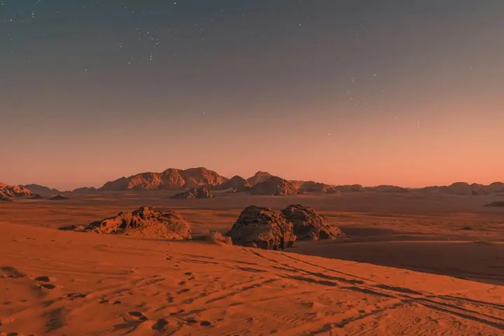
Sandstone domes.
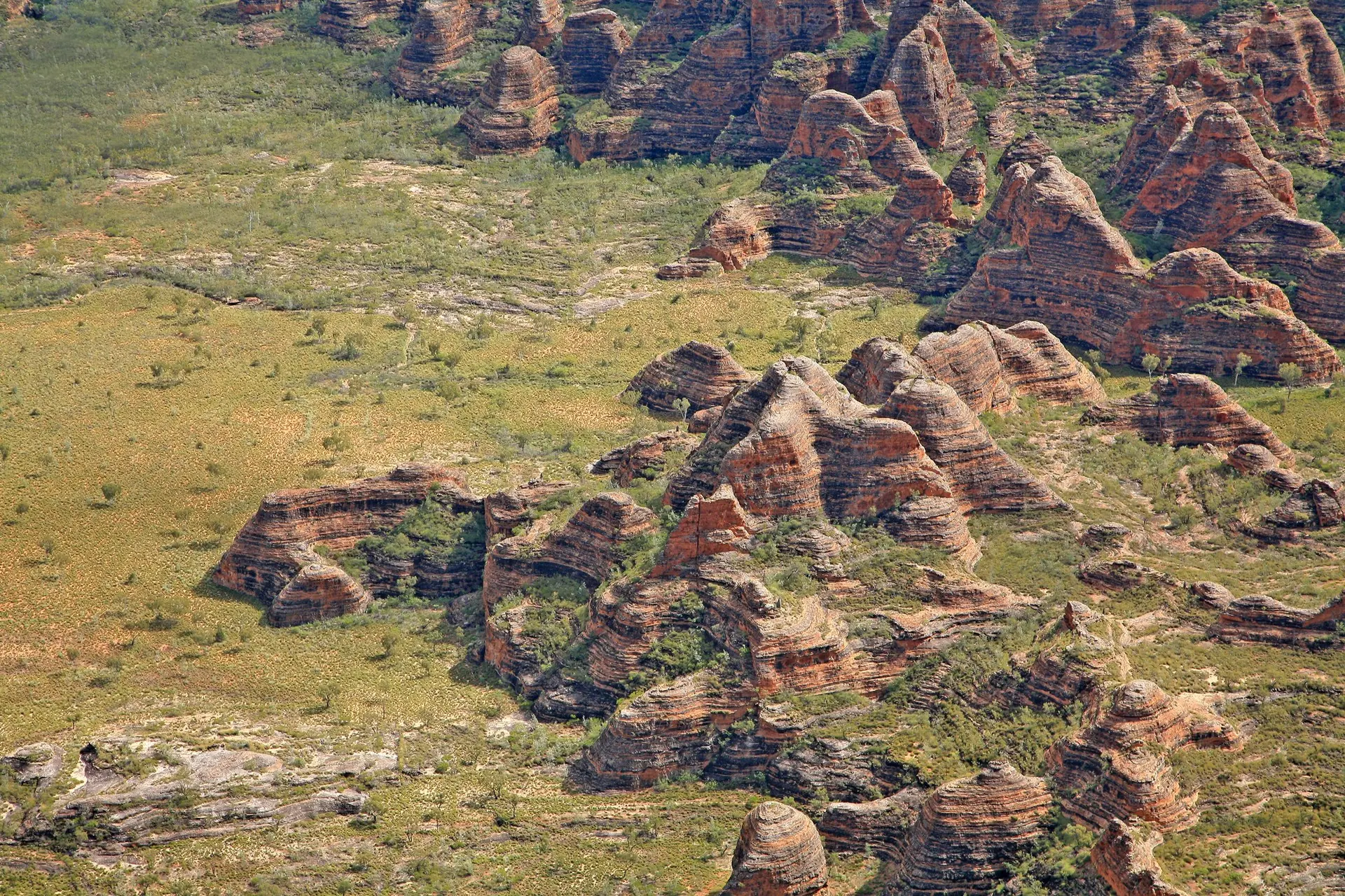
Erosion shapes the rock into rounded towers.
LANDSCAPE KEY Sandstone
01 / The landscape
Ancient sandstone. A living surface.
Domed towers rise from Kimberley grasslands, their orange and dark bands following the sandstone layers. Purnululu’s extraordinary geometry holds both geological and living cultural histories.
One detail to remember
20
million years of erosion
The sandstone itself is much older.
Source / UNESCO · Purnululu National Park02 / Landscape anatomy
Three ways to read Purnululu.
A field guide to what you’re seeing.
Erosion shapes the rock into rounded towers.
Cyanobacteria form dark crusts across the sandstone.
Weathering and erosion open gorges between the domes.
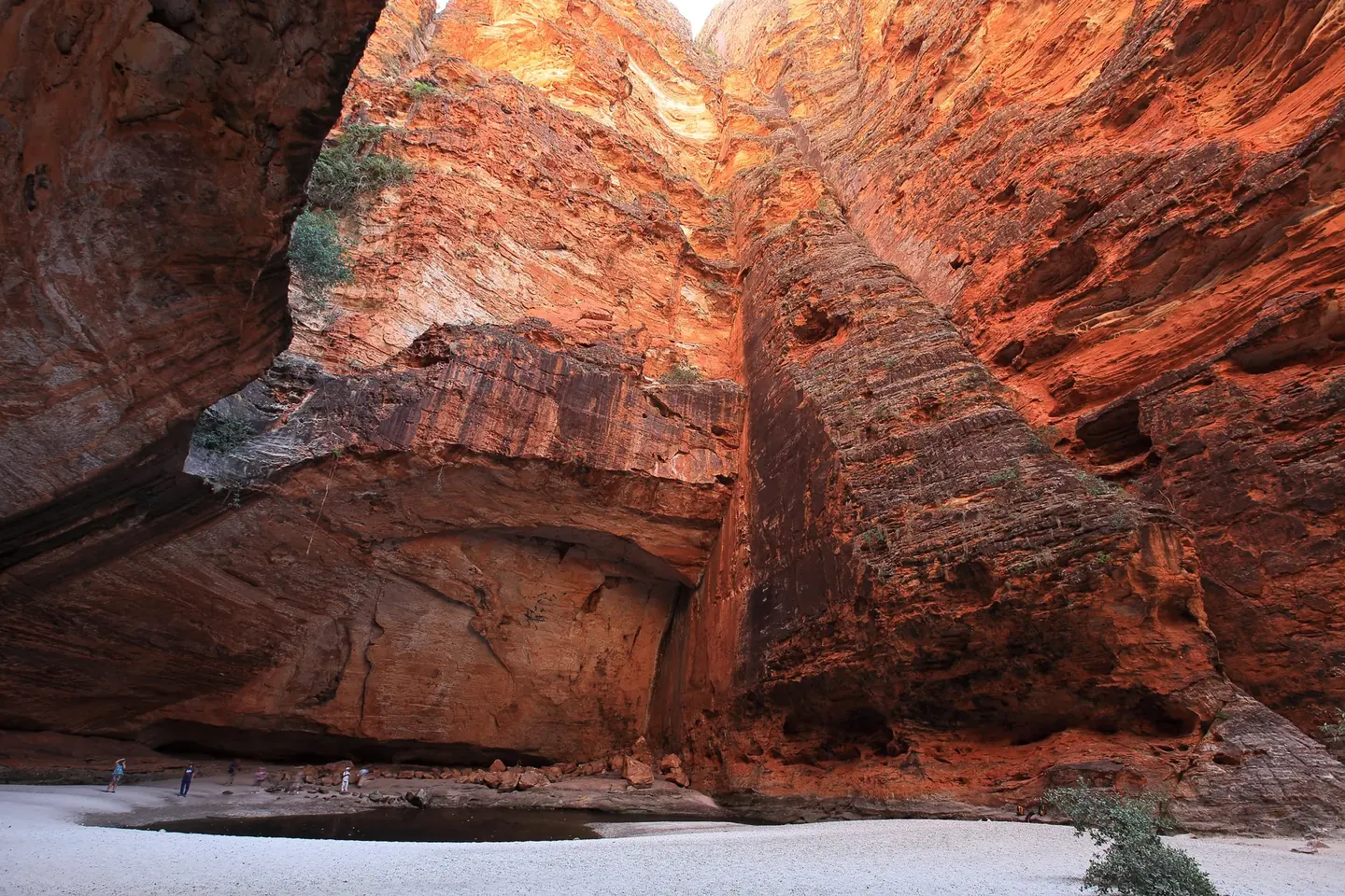
Dark bands. Warm stone.
Life written across the rock.
Behind the view
The Bungle Bungle Range is carved from ancient quartz sandstone into closely packed, rounded towers. UNESCO describes an interaction of weathering, erosion, climate and biology, rather than a single sculpting force. Dark cyanobacterial crusts contribute to the alternating bands and help protect the fragile rock underneath. The organisms are part of the architecture: a microscopic surface community has a visible role in the appearance of an immense landscape.
03 / The human story
Knowledge and custodianship.
A landscape already known.
The Western Australian parks authority recognises Gija and Jaru people as Traditional Owners. A more recent chapter concerns legal recognition: in December 2022, the Federal Court recognised native title rights following longstanding claims over Purnululu and neighbouring land. The state’s account records an agreement allowing earlier extinguishment of native title in the conservation estate to be disregarded. The familiar towers stand within Country whose significance extends far beyond a scenic designation.
04 / Across time
Wet-season runoff activates creeks and waterfalls; dry conditions reveal their beds. Shifting light brings out the rounded towers, surface bands and narrow spaces between them.
Moisture changes the appearance of the banded rock.
Angled light emphasises the orange stone and sculpted relief.
Purnululu lies between arid inland environments and the wetter monsoonal north. The Australian environment department describes wet-season waterfalls, rapid runoff and high evaporation, with little lasting surface water. Conditions differ between exposed plateaus and sheltered creek valleys. The domes remain the most recognisable forms, but water periodically makes the drainage lines active and brings another structure of the landscape into view.
Keep looking / Sources & photography
Hero: W. Bulach / CC BY-SA 4.0 · Resized and WebP compressed; cropped for display.
Second photograph: Maclearite / CC BY-SA 4.0 · Resized and WebP compressed; cropped for display.