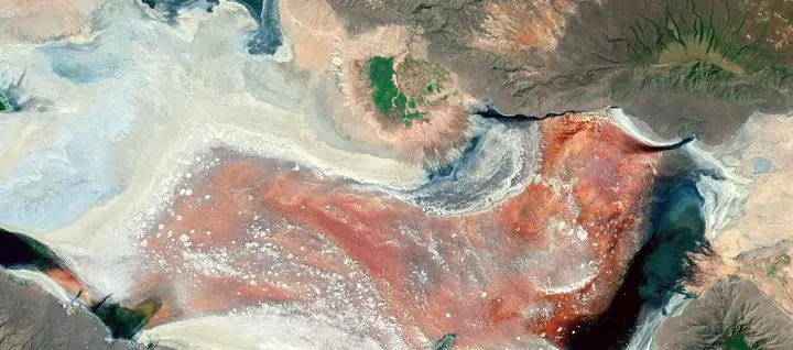
Springs rise.
Fresh water brings dissolved calcium through the lake bed.
LANDSCAPE KEY Freshwater
01 / The landscape
Mineral towers. An ancient inland lake.
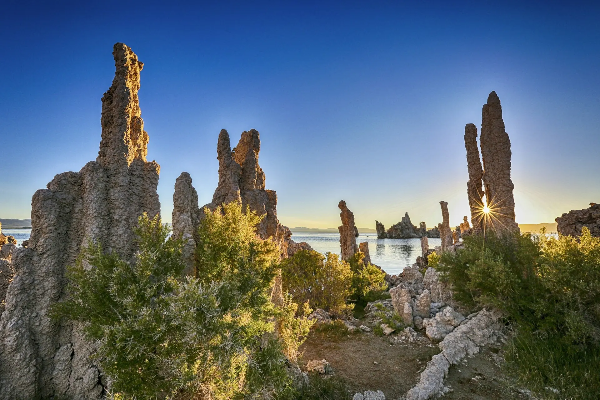
Pale towers rise from an alkaline lake beneath California’s Sierra Nevada. They look like the ruins of a drowned city. The remarkable part is that water built them.
One detail to remember
1941
a turning point for the lake
Falling water exposed tufa towers that had formed beneath the surface.
Source / USGS · Mono Lake field guide02 / Landscape anatomy
Three ways to read Mono Lake.
A field guide to what you’re seeing.
Fresh water brings dissolved calcium through the lake bed.
Contact with carbonate-rich lake water deposits limestone.
A lower water level exposes formations built underwater.
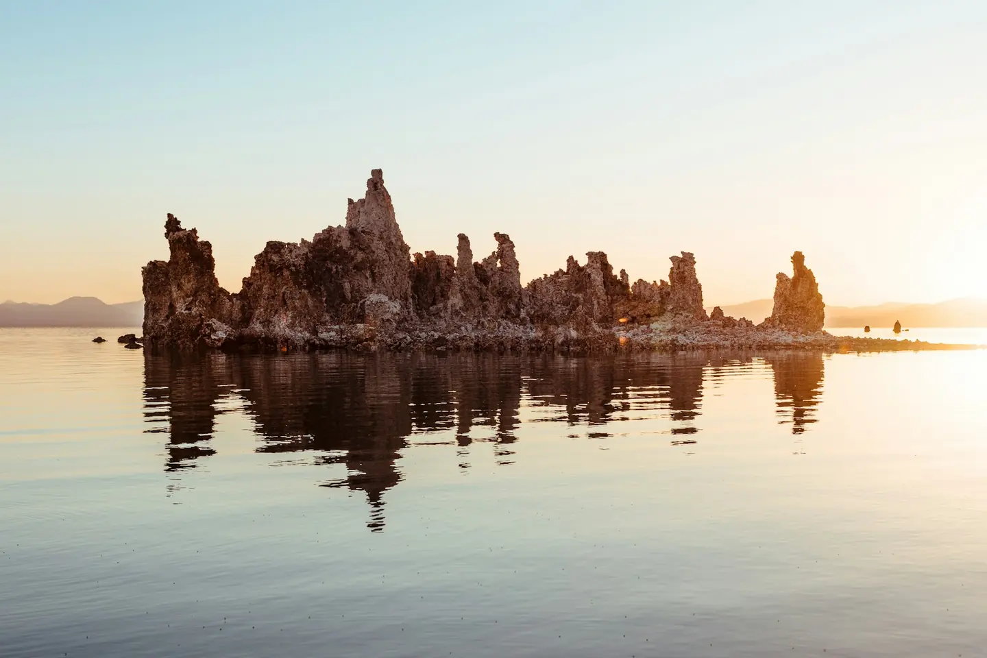
Stone above the surface.
A history written below it.
Behind the view
Calcium-rich spring water rises through the lake bed and meets carbonate-rich lake water. Their reaction deposits calcium carbonate: limestone that gradually gathers around the springs. These formations are called tufa. The towers grew beneath the surface, accumulating where fresh and saline waters met. Their appearance above the water records a falling lake level, rather than a forest of stone pushing upwards. Even now, new tufa can form underwater while older towers stand exposed along the shore.
03 / The human story
Kootzaduka’a homelands.
A shared responsibility for water.
Mono Lake lies within the traditional homelands of the Kootzaduka’a people. Its shoreline is a place of continuing cultural connection, alongside the scientific and photographic attention it receives. In 2026, the tribe and California State Parks formalised an agreement supporting consultation, access for traditional gathering and shared stewardship. Their collaboration brings another way of reading the lake into its care: knowledge carried through families, and a responsibility to land and water that extends beyond the view.
04 / Across time
Winter can dust the tufa with snow. At other times, wind breaks their reflections into ripples; calm water doubles the skyline. Light and weather change the scene long before the stone changes shape.
Snow can settle on the mineral towers, adding a temporary white layer.
Still water reflects the tufa; wind breaks the image into moving fragments.
The lake is a remnant of a much larger freshwater body, Lake Russell. Ancient shorelines remain high on the surrounding slopes. A more recent change began in 1941, when streams feeding Mono Lake were diverted to Los Angeles. Water levels fell, exposing tufa that had formed below the surface. The towers make that change tangible: each exposed column connects a chemical process with a history of water use.
Keep looking / Sources & photography
Hero: Mick Haupt / Unsplash License · Resized and WebP compressed; cropped for display.
Second photograph: Cedric Letsch / Unsplash License · Resized and WebP compressed; cropped for display.