A saline plain.
The salar forms a broad mineral surface in the high Puna.
LANDSCAPE KEY Salt basin
01 / The landscape
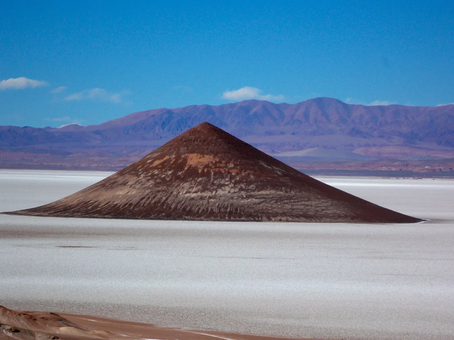
A solitary shape. An immense mineral plain.
On Argentina’s high Puna, salt stretches towards rust-coloured mountains. At its southern edge, the Cono de Arita rises with the strange clarity of a monument.
One detail to remember
1,600+
square kilometres
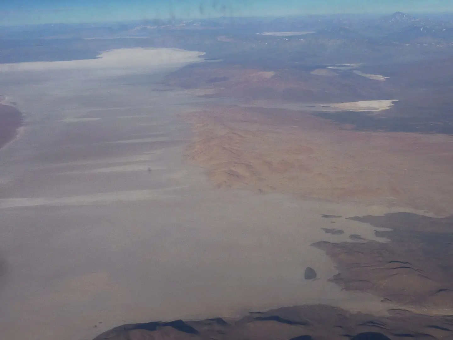
Satellite images reveal lines left by former lake shores.
Source / NASA Earth Observatory · Salar de Arizaro02 / Landscape anatomy
Three ways to read Salar de Arizaro.
A field guide to what you’re seeing.
The salar forms a broad mineral surface in the high Puna.
Erosion leaves the isolated form of Cono de Arita.
The cone’s relief stands out against the surrounding salt.
One striking silhouette.
A much larger story of stone.
Behind the view
The cone’s silhouette invites a volcanic explanation, but its shape records erosion. The Argentine Geological Association identifies it as a remnant left standing after surrounding material was removed. Its rocks are volcanic deposits from the Early Miocene, with an ignimbrite cap: material produced by an ancient hot flow of ash and fragments. It is not a volcano that failed to erupt. Around it, dissolved minerals crystallise as water evaporates, building the salt flat by an entirely different process.
03 / The human story
Beyond the empty horizon.
A place within the Puna.
Arizaro has been crossed as well as contemplated. Salta’s tourism authority describes eighteenth- and nineteenth-century drovers leading animal caravans across the salar. Tolar Grande later grew as a railway settlement in the 1940s, with mining central to its economy. The old Caipe station overlooks the salt: a reminder that this apparently empty expanse belongs to a landscape of work, movement and connection.
04 / Across time
Aridity sets the character of the scene. Wind, evaporation and changing light continually alter its surface and appearance; ancient shorelines record much larger changes in water.
Long shadows emphasise the isolated landform and its height above the plain.
Light and the condition of the salt surface change how the same silhouette appears.
From orbit, parallel traces preserve former lake margins. NASA’s satellite account also identifies wind-aligned yardangs and hills sharpened by salt weathering. Crystal growth breaks rock; wind carries loose material away. The broad white floor and the isolated cone therefore hold different histories, one accumulating minerals while the other survives the removal of surrounding rock.
Keep looking / Sources & photography
Hero: Ben Stubbs / CC BY 2.0 · Resized and WebP compressed; cropped for display.
Second photograph: Ajoposor / CC BY 3.0 · Resized and WebP compressed; cropped for display.