Field Journal — 001

Go slowly. Look closely.

The World’s
Most Beautiful
Routes

Seventeen lines across the earth that turn getting there into the entire point.

Begin the journey
01 / 17

Passo Giau
Dolomites, Italy · 46.48° N

A different measure of distance

Some routes do not connect places. They connect you to the world between them.

A winding road beneath the dark ridges of the Isle of Skye
Isle of SkyeScotland · 57.27° N

The best journeys redraw our sense of scale. A road lifted over salt water. A footpath moving from fire to forest. A railway that solves a mountain in stone and steel.

This is a field guide to seventeen such lines—real routes, rendered as stories of weather, terrain, engineering and time.

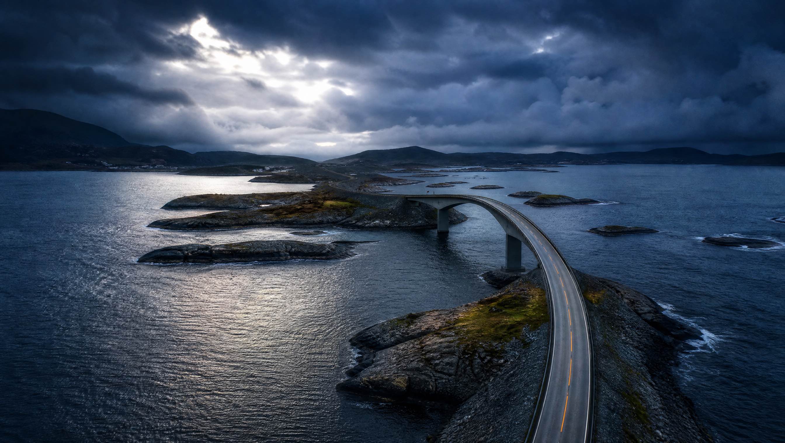
Atlantic Ocean Road curving across rocky Norwegian islands under a stormy sky

Atlantic Ocean Road · Norway

01 — Road 63.02° N · 7.35° E

Where the road
meets the sea

Atlantic Ocean Road · Norway

A ribbon of asphalt skips over the edge of the Norwegian Sea. From one angle, Storseisundet Bridge seems to rise into nowhere; from another, it becomes a clean arc between two wave-washed skerries.

The celebrated engineering section links Averøy to the mainland over eight bridges. Opened in 1989, it is the kinetic heart of a longer 36-kilometre National Scenic Route between Kårvåg and Bud.

8.274km of ocean road
8bridges
1989opened
The lineAverøy → Mainland
KårvågStorseisundetVevang
Road atlas · 02—05

Four more roads
at the edge

Mountain, cliff, rainforest and ocean: four different negotiations between asphalt and the wild.

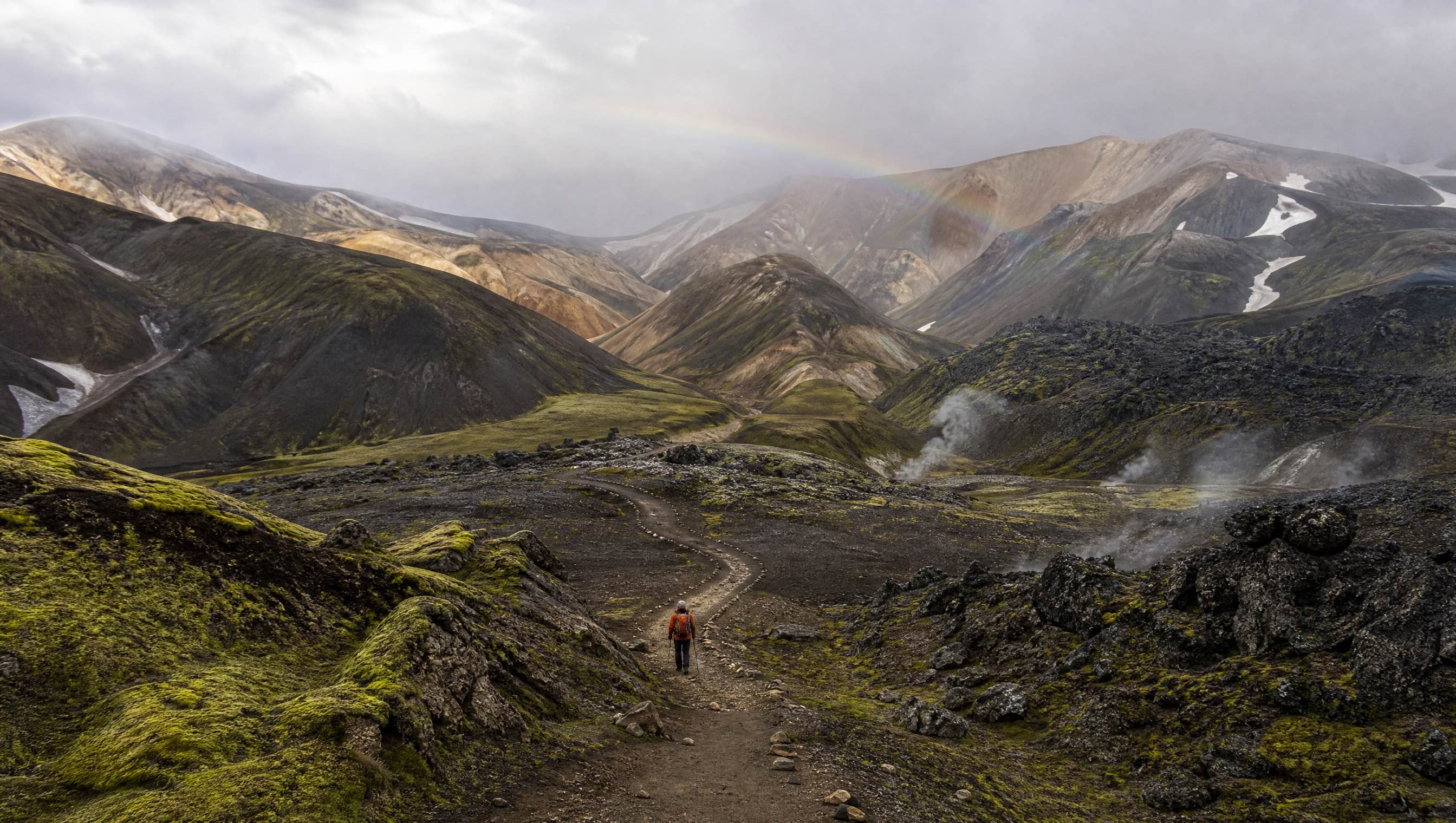
A hiker following the Laugavegur trail through Icelandic lava and rhyolite mountains

Laugavegur Trail · Icelandic Highlands

03 — Foot 63.98° N · 19.07° W

Four days
across creation

Laugavegur · Iceland

The trail leaves Landmannalaugar in a palette of sulphur yellow and rhyolite pink. Steam lifts from the earth. Hours later, the world is reduced to black sand, snow and a line of cairns.

Across roughly 55 kilometres, the landscape changes with theatrical speed—hot springs, obsidian fields, bright lakes and finally the birch woods of Þórsmörk. Most walkers give the crossing four days.

55km on foot
4typical days
2worlds: fire & forest
The crossingHighlands, north → south
LandmannalaugarÁlftavatnÞórsmörk
Foot atlas · 02—04

Three ways
to walk deeper

Across borders, through rainforests and into the old mountains of an island continent.

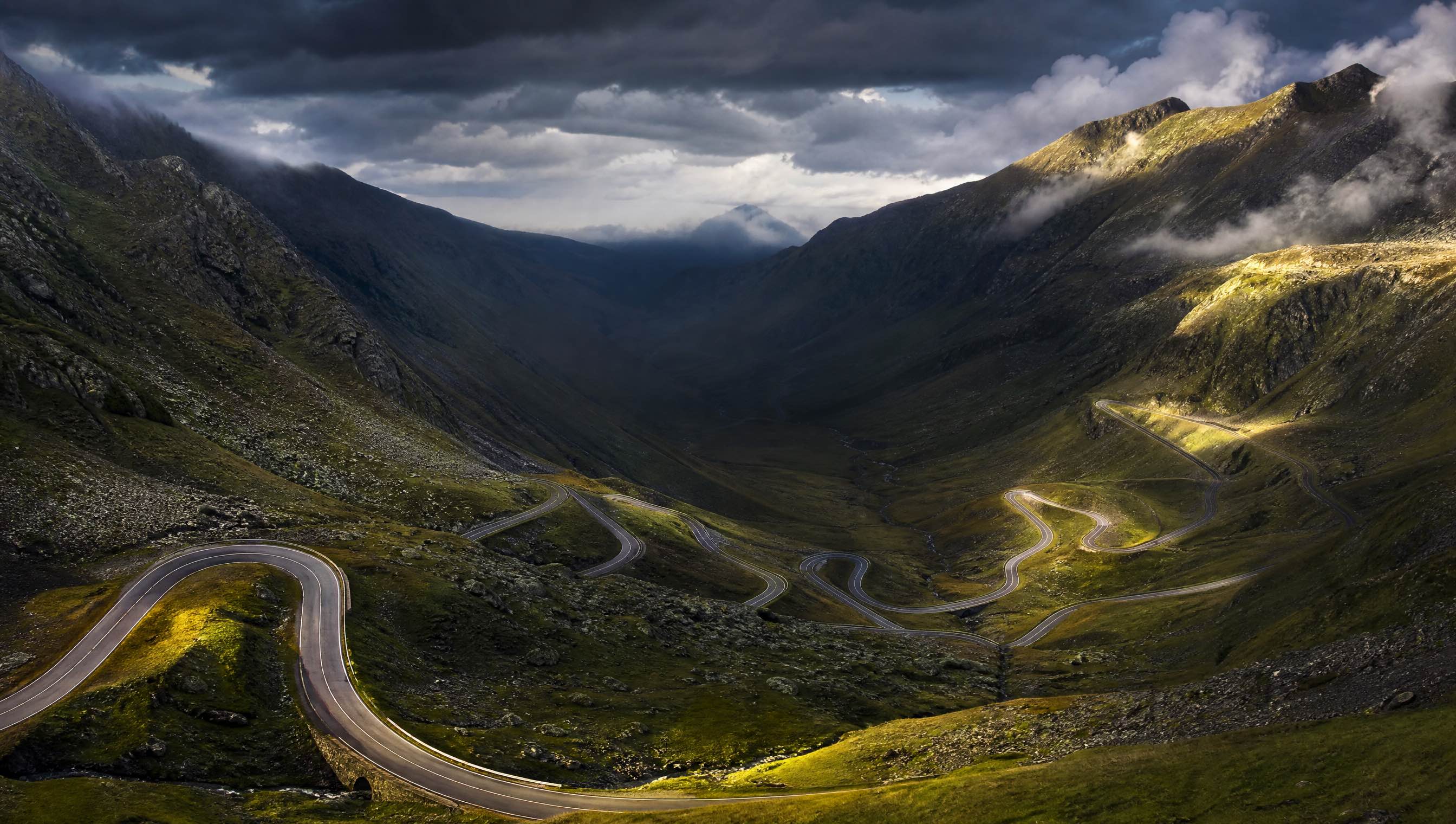
The Transfăgărășan Highway switchbacking through Romania’s Făgăraș Mountains

“The line on the map is only the beginning.”

Field note № 17Transfăgărășan · Romania
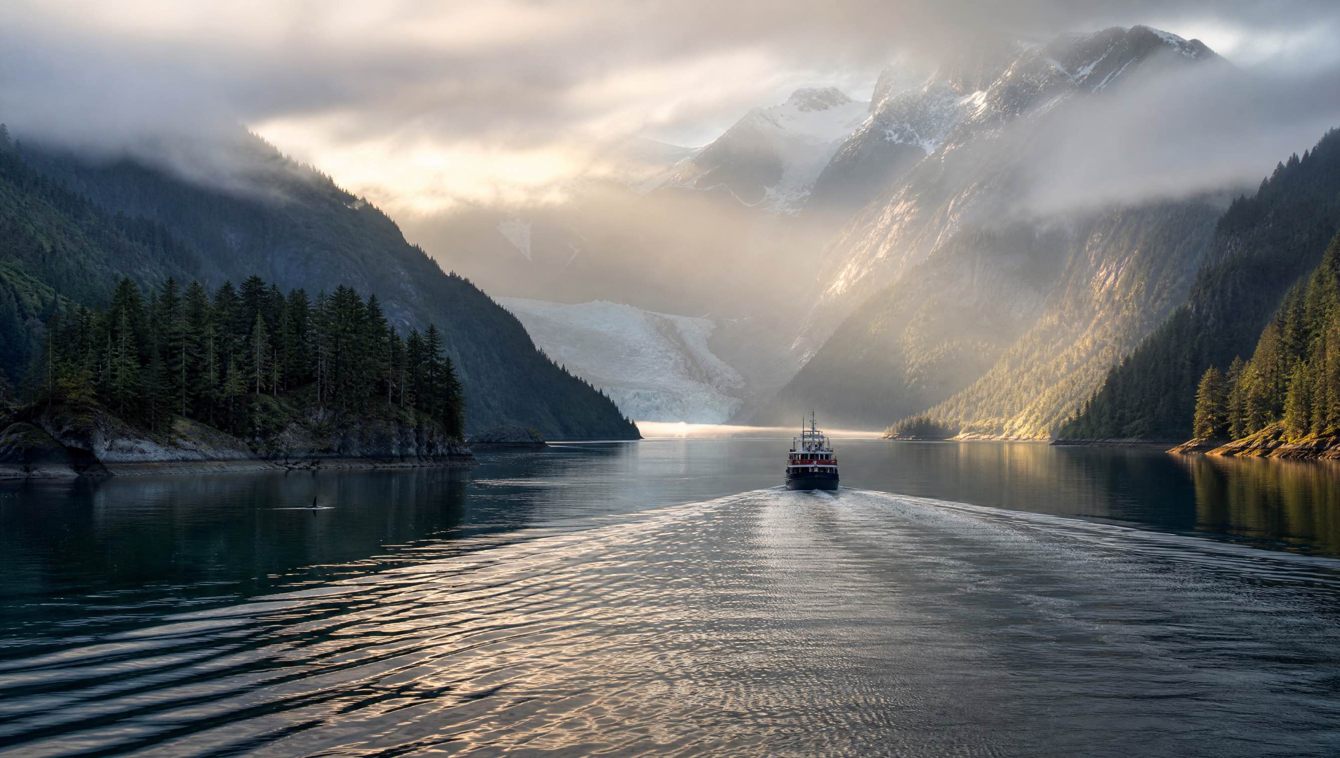
A vessel sailing through misty mountains and forest in Alaska’s Inside Passage

Inside Passage · Southeast Alaska

04 — Water 57.05° N · 135.33° W

The highway
made of water

Inside Passage · Alaska, USA

There are no lane markings here—only channels between spruce-dark islands. The Alaska Marine Highway carries people, cars and groceries through a geography where the coast is the road.

More than 1,500 islands shelter the Inside Passage from Pacific swells. Ferries trace a living network from Bellingham through Ketchikan, Wrangell, Juneau and north to Skagway.

1,500+sheltering islands
BC → AKcoastal corridor
1All-American Road
The passageSoutheast Alaska, south → north
KetchikanJuneauSkagway
Water atlas · 02—04

Three passages
written in water

Fjord, wetland and river—landscapes that only reveal their full shape from the surface.

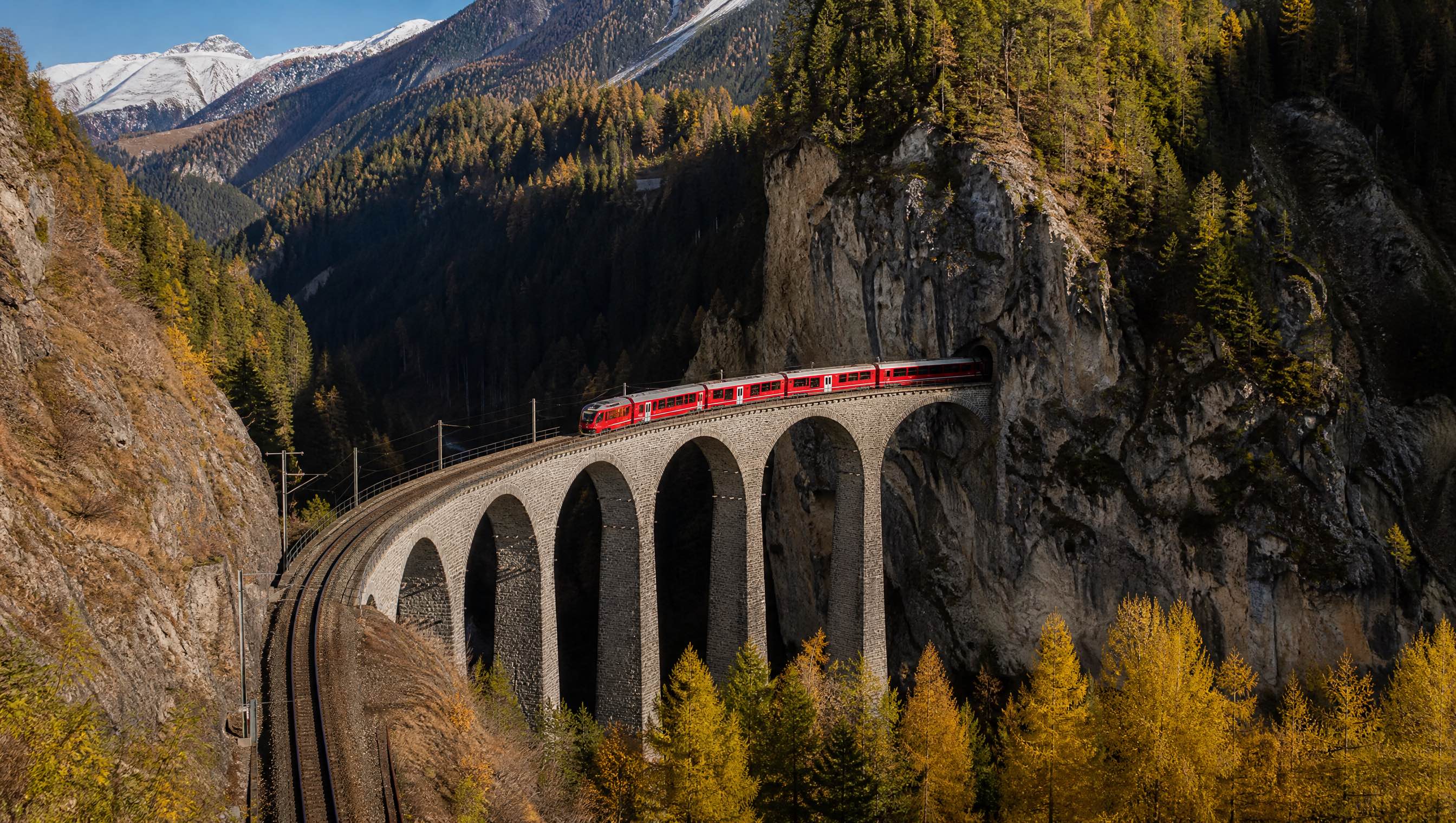
A red Rhaetian Railway train crossing the Landwasser Viaduct in Switzerland

Landwasser Viaduct · Switzerland

05 — Rail 46.54° N · 9.88° E

The gentle art
of crossing Alps

Albula / Bernina Railway · Switzerland → Italy

A red train disappears into rock, loops back into view and climbs without a rack. The stone viaducts feel less imposed on the landscape than threaded through it.

The UNESCO-listed Albula and Bernina lines span 128 kilometres together. Their 196 bridges and 55 tunnels climb to 2,253 metres before the railway drops toward palms and Italian light in Tirano.

128km of listed lines
196bridges & viaducts
2,253m high point
The traverseThusis → Tirano
ThusisOspizio BerninaTirano
Rail atlas · 02—04

Three railways
that solved mountains

Spiral tunnels, braided rivers and narrow-gauge loops—the journey visible in its engineering.

Field notes

How to travel
with a lighter trace

01

Stay longer

Let one route replace a list of stops. Depth is its own form of distance.

02

Move with the place

Choose the train, ferry or your own feet when the landscape makes them possible.

03

Leave the line intact

Use formed paths, signed pullouts and local guidance. Beauty survives through restraint.

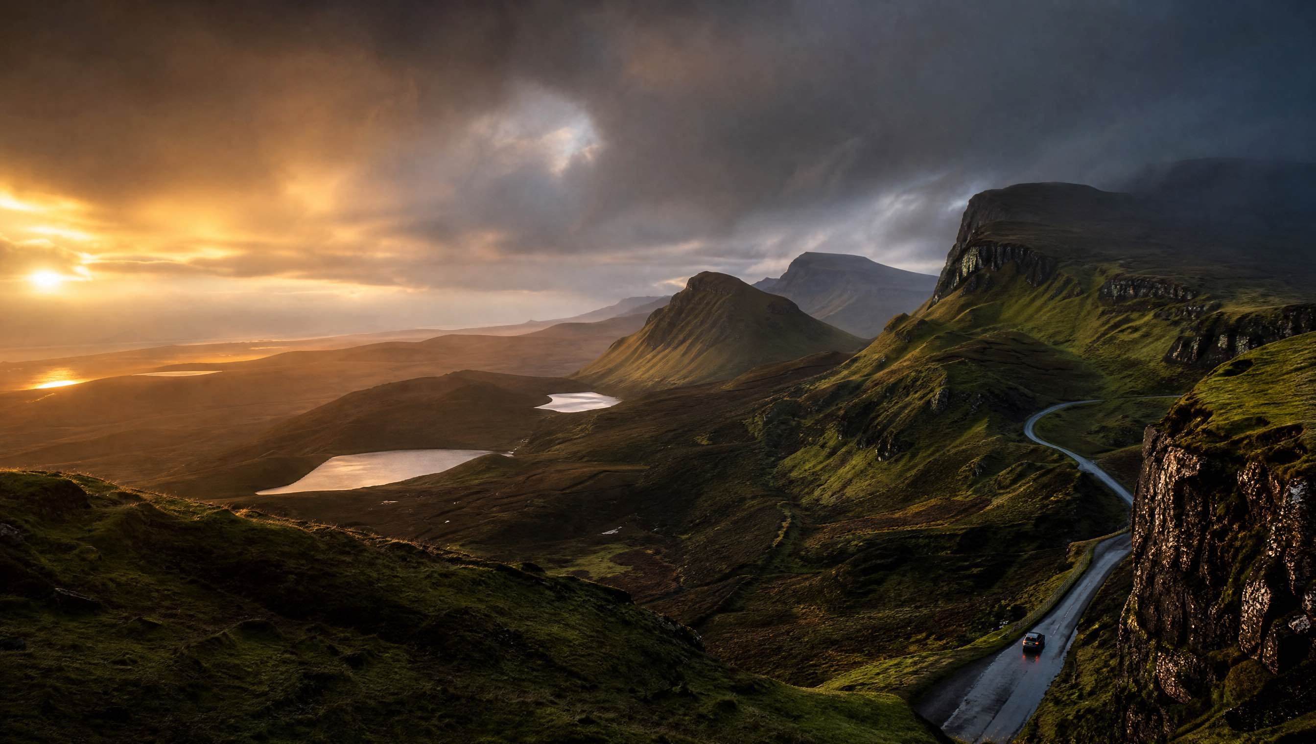
A narrow road winding beneath the Quiraing on the Isle of Skye at sunset

The road continues

Choose a line.
Follow it slowly.

Quiraing · Isle of Skye, Scotland

Return to the beginning
The Quiraing is part of the Trotternish landslip—a landscape still in motion.

The line
Read the primary source